VIBU Lens
Is this land a deal?
Land underwriting platform. 20+ data sources, one clear answer.
Request a demoVIBU Lens · illustrative run
INPUT> 28.0114, -111.1623 · 4.2 ha
- ZONINGCompatible · mid density
- TENENCIAPrivate · no liens
- AGUAFeasibility via agreement
- MERCADOAbsorption 8.4 u/mo
- RIESGOStorm runoff · mitigable
VerdictGO
Conditional on storm mitigation · recommended product: mid housing
20+data sources
6analysis phases
1verdict
app.grupovibu.com · site analysis
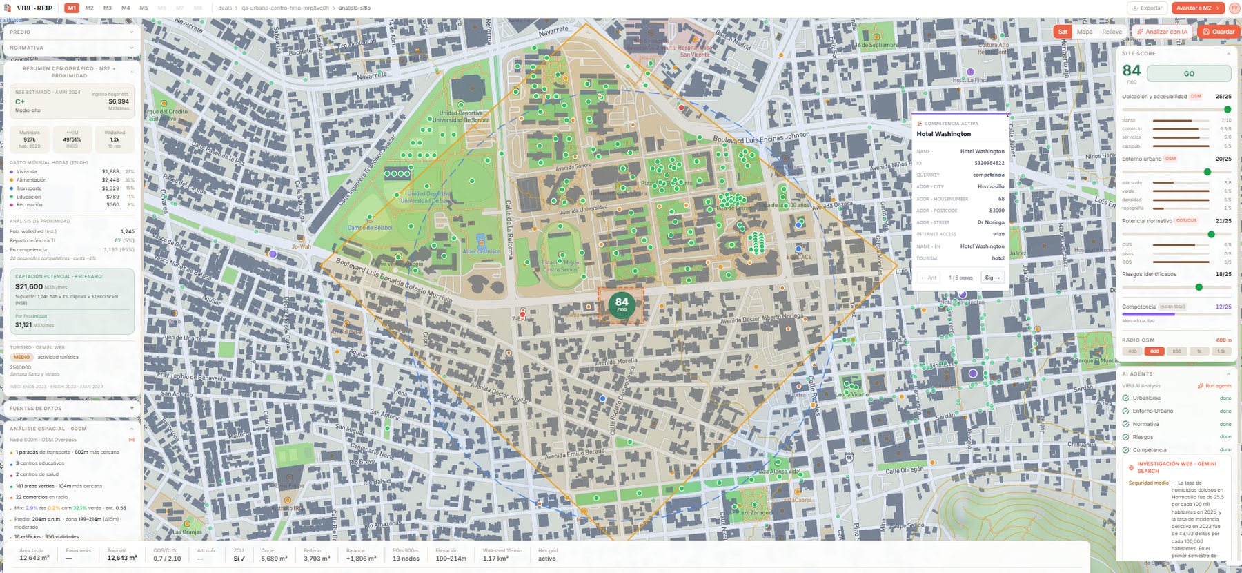
Site analysis in VIBU Lens · score, zoning, risks and competition on one screen
How it works
01
INPUT
Coordinates or the land polygon.
02
ANALYSIS
Zoning, tenure, risk, market, infrastructure and costs, crossed in minutes.
03
VERDICT
GO / NO GO with the reasons why and the recommended product.
Sources
- Urban plans (PMDU)
- INEGI
- DENUE
- RAN
- CONAGUA
- CONABIO
- Market records
- Regional parametric costs
- +12 more
Who it's for
Developers
A land verdict before signing the purchase agreement.
Banks & funds
An independent second opinion on the collateral or the project.
Landowners
What your land is worth, what it's for and who it serves.
Family offices
An opportunity filter without building an in-house real estate team.